
It is one of the most widely circulated photographs ever taken from the International Space Station: the Korean Peninsula at night, a single landmass cleaved in half by an invisible seam. To the south, a molten sprawl of white and gold — Seoul at its center, home to roughly 9.67 million people in the capital proper and about 26 million across the greater metropolitan region. To the north, near-total darkness. One pinprick of light where Pyongyang sits, and a scattering of far fainter specks beyond it. The rest of the country, holding around 26 million people, registers on the sensor as ocean.
Same peninsula. Same latitude. One border, drawn in 1953.
What the camera is actually recording
The canonical frame is ISS038-E-38300, taken by an Expedition 38 crew member on 30 January 2014 with a Nikon D3S and a 24-millimeter lens. From the station’s orbit, roughly 400 kilometers up and moving at about 27,600 kilometers per hour, the human eye picks out cities as glowing smears. A fast lens does better, resolving highways, port facilities, and the hard edges of industrial districts.
The Artful Age
A weekly letter on aging well, family across generations, and the creative life after the kids leave home.
The sensor is not measuring population. It is measuring photons. Every point of light in that frame is electricity being spent on something — a streetlamp, an apartment window, a refrigerated warehouse, a neon sign advertising fried chicken at 2 a.m. At the time the picture was taken, annual per-capita electricity consumption ran to 10,162 kilowatt-hours in the South and 739 in the North. The peninsula is not split by geography. It is split by close to fourteen times the wattage.
Seoul, the bright half
The largest single glow in the image is the Seoul Capital Area, which stretches from the Han River basin outward to Incheon in the west and Gyeonggi Province in every other direction. Seoul proper has been shedding residents for years as households move out to Gyeonggi cities chasing cheaper apartments, and the lights sprawl accordingly. What began as a walled Joseon-era city of a few hundred thousand is now a continuous urban field stretching more than 60 kilometers across.
The brightness is not evenly distributed. Gangnam, south of the river, burns hardest — the commercial and cosmetic-surgery core, lit by 24-hour signage. The old northern districts around Gwanghwamun and Jongno glow steadily too. Gwanghwamun Square is where roughly 76,000 people gathered for BTS’s comeback show in March 2026, about a quarter of them foreign nationals — the kind of crowd that fills a plaza for one evening and leaves no trace at all in the next night’s imagery. The wattage that shows up from orbit is the boring kind: the signage, the streetlights, the refrigeration that runs whether anyone is watching or not.
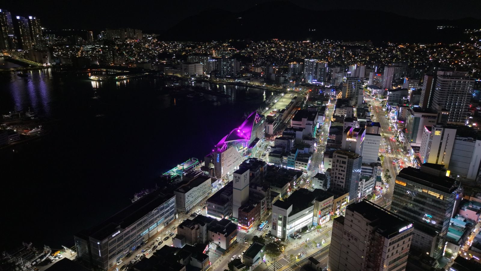
Ports light up on their own logic. Busan, at the peninsula’s southeastern tip, glows almost as intensely per square kilometer as Seoul because container terminals never sleep. Cranes, floodlights, and refrigerated container stacks each contribute pixels to the frame.
The shape of the darkness
North Korea in the same image is not entirely black. Pyongyang reads as an oval of muted white light along the Taedong River — a city of more than three million whose total light emission is comparable to that of a small South Korean town. Beyond it, a handful of other cities can be picked out as smaller specks — Wonsan, Hamhung, and pockets around Pyongyang itself. Between and around them: a country of roughly 120,000 square kilometers registering fewer photons than a single South Korean county.
The gap is not because North Koreans do not exist. It is because the grid does not deliver. Generating capacity on paper substantially exceeds what actually reaches households, and rural distribution collapses regularly. Candles and small solar panels bought at Chinese-border markets fill in the rest, and neither shows up from orbit.
Why the border is visible from space
The Demilitarized Zone is 4 kilometers wide and 250 kilometers long. From the ISS it is invisible in daylight — a green strip that reads as ordinary forest. At night it becomes one of the most legible political lines on the planet. On the southern side, the fenceline is lit by security lighting that traces the border clearly enough to see from orbit. On the northern side, the lights simply stop.
The effect is starker than at most other national borders visible from space. The U.S.–Mexico border shows gradients. The India–Pakistan border, floodlit along much of its length, appears as a bright orange line — but with cities glowing on both sides of it. The Korean DMZ is a hard cliff of light. South of it, just over 500 people per square kilometer, most of them plugged into an economy that produces Samsung semiconductors and Hyundai ships. North of it, roughly 215 people per square kilometer, most of them on a rationed grid.
The demographic layer beneath the pixels
The bright half is also the shrinking half. South Korea’s total fertility rate — the average number of children a woman will have in her lifetime — hit a record low of 0.72 in 2023, recovered to 0.75 in 2024, and rose again to 0.8 in 2025, still well below the 2.1 needed to keep a population stable. Nearly 23,000 babies were born in February 2026, the most for that month in seven years, but demographers reading the same figures caution that much of the rise is an echo of the larger 1990s birth cohort now passing through peak childbearing years, not a reversal.
The government has spent billions on incentives: monthly allowances during a baby’s first year, payments at birth, subsidized fertility treatment, expanded parental leave, and low-interest loans for young families buying homes. The apparent turnaround has drawn attention from other countries facing record-low fertility of their own. Not every parent is convinced. Some describe the payments as marginal against the real pressures — private tutoring costs, school bullying, and the prospect of jobs disappearing into automation.
What this means for the night lights is subtle but real. The Seoul cluster is not getting dimmer — commercial activity keeps the wattage steady — but the human density behind the lights is thinning. Rural counties in the southeast are already emptying. In another two decades, whole districts may drop below the illumination threshold that shows up from space, not because the grid failed, but because no one is home to switch the lights on.
The northern half’s own arithmetic
North Korea’s population is holding roughly steady at around 26 million, and the electricity picture is improving only slowly. Sanctions since 2016 have restricted coal exports and fuel imports, both of which underpin the grid. Hydroelectric capacity along the Yalu and Chongchon rivers depends on seasonal rainfall, and blackouts remain routine outside central Pyongyang.
The imagery record is not static, though. A 38 North review of a decade of nighttime satellite data found the north gradually getting brighter, with new dots appearing where state construction has been prioritized — entire towns in the Samjiyon region that were invisible a few years earlier now register as faint points. The country is not switching on. It is switching on selectively, and from 400 kilometers up, the political economy of a single state’s priorities becomes a lighting diagram.
What astronauts notice
Crew members on the ISS complete an orbit every 92 minutes — 15.5 of them a day — which means the peninsula passes beneath them regularly, sometimes lit, sometimes in shadow, sometimes buried under cloud. Night-side passes over East Asia are a standing item on the crew Earth observation list precisely because the contrast is so extreme: there is nowhere else on the planet where an economic border draws itself this cleanly without anyone having to annotate it.
The image ages
The 2014 photograph is the canonical one, but astronauts have taken hundreds since. The broad pattern has held. Seoul’s footprint has grown outward toward Incheon and southward into Gyeonggi. Pyongyang’s has expanded modestly along its new apartment corridors. The DMZ still draws itself across the middle of the frame.
What the photograph will not tell you
Look at the image long enough and it starts to lie by omission. It does not show the 26 million people north of the line — their kitchens, their conversations, their children learning to read by kerosene lamp. It does not show the roughly 34,000 North Korean defectors now living in the south, most of them in and around Seoul. It does not show the families still separated by the border, some of whom last saw each other in 1950, now in their late eighties and nineties, still on official waiting lists for reunion meetings that happen only rarely.
The image shows electricity. It records what a country has decided to spend its power on. In the south, that is one of the most continuously lit metropolitan regions on Earth. In the north, it is one capital, a few coastal towns, and a rationed grid stretched across mountains.
The next time the ISS passes over the peninsula in darkness — sometime tonight, in fact, on one of its 15.5 daily orbits — a crew member with a fast lens can take the same picture again. The camera will register the same seam. Seoul will still burn. The specks north of the line will still be specks. And the 26 million people around them will still be there, in the dark, waiting for the grid to come back on.